Description
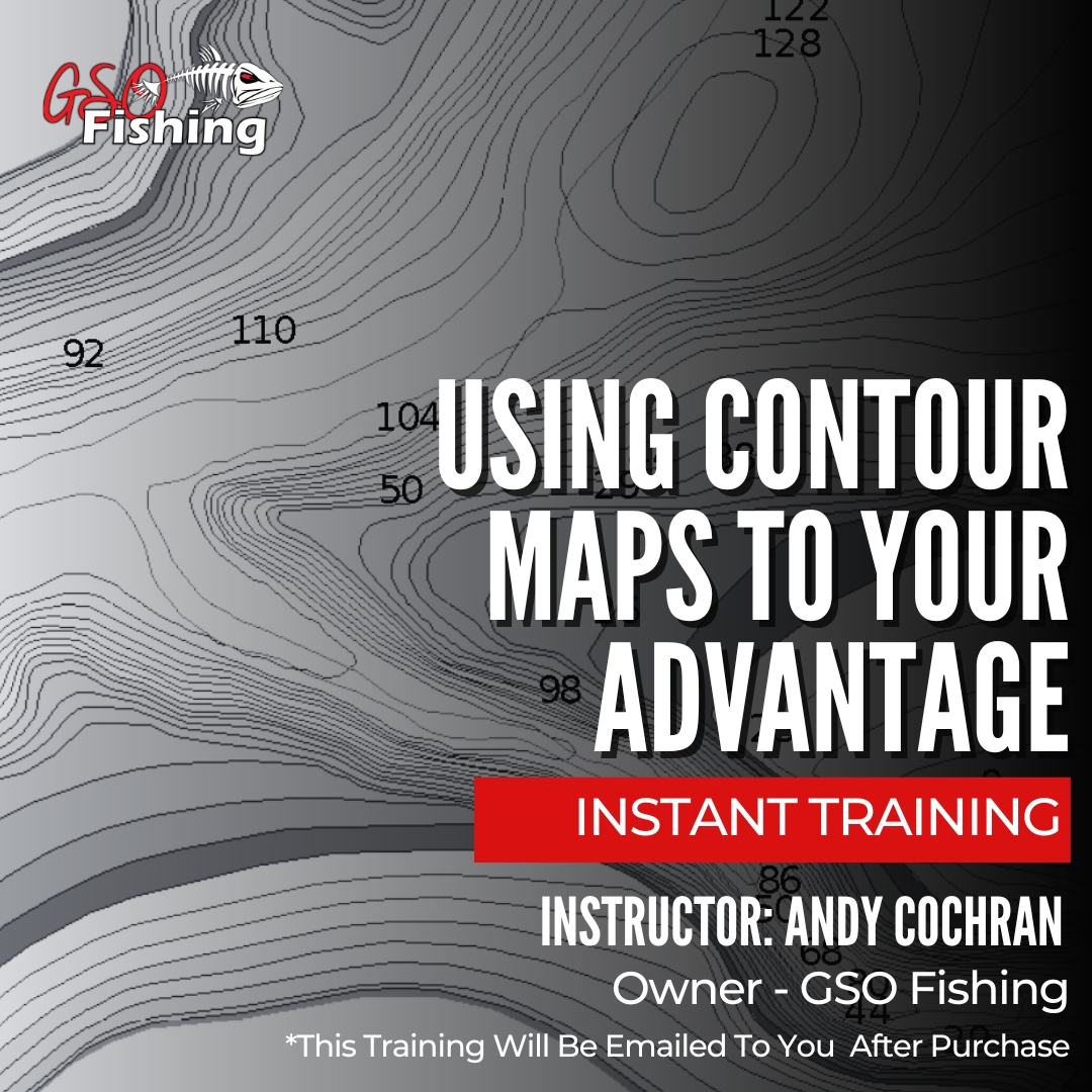
Using Contour Maps To Your Advantage
In this one-hour session, we’ll guide you through the ins and outs of various contour maps, from traditional paper to modern apps. Learn to decipher contour lines, read maps effectively, and use real-time water level updates to stay ahead of the game
What to Expect:
- Types Of Maps – pros and cons.
- Reading contour maps – channel swings, humps, points, cliffs, etc.
- Using Google Earth alongside your Contour maps.
- The importance of understanding how the current water levels affect fishing conditions and terrain.
- How to find and set current water levels in digital maps to get the most up-to-date conditions at the lake you want to fish.
- Locating the perfect fishing spots before you even get to the lake.
Don’t miss this opportunity to elevate your ice fishing game with contour maps. Register now and gear up for an hour of learning!